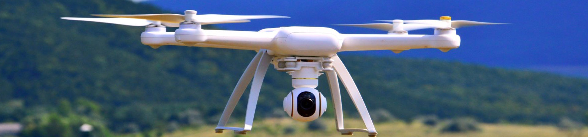
On-Demand UAS Imaging & Video Data Collection
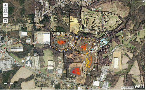
Texian Geospatial offers a variety of drone imagery capture services. Imagery is a valuable tool and when implemented within a GIS, it offers an on-demand, real-time service for GIS applications and analysis. We can capture large properties of land with accuracy, precision and high-resolution detail all in one image. Texian Geospatial harnesses the power of GIS and drone imagery to assist in analysis of specific projects such as development and construction monitoring.
Drone Imagery Capture
Use unmanned aerial vehicle’s (UAV’s) to collect imagery of a specific scene. Collect hundreds of high-resolution images and rebuild the scene from a top-down view by stitching together images collected. Instead of having to manage the extensive list of images and being unsure as to how they align with each other, the image produced is a continuous image with high accuracy.
Drone Imagery Solutions:
- Development Monitoring
- Construction Monitoring
- Agricultural Monitoring
- Ranch Management
3D Modeling
TexianGeo also offers 3D modeling solutions for drone images. Through artificial intelligence and advanced software, TexianGeo uses imagery, GPS coordinates and altitude data to recreate the scene in 3D. This scene can then be maneuvered and manipulated in real-time for 3D analysis.
Imagery Analysis
TexianGeo offers analysis of all data collect by UAV’s. With the implementation of field data, GPS coordinates and high-resolution, high-accuracy information TexianGeo helps analyze and manage assets. Experience hands-on analysis working with you, not just for you.
Drone Analyses:
- Multispectral Image Collection (Agricultural Analysis)
- Reconstructive Conservation (3D modeling)
- LiDAR solutions (Vegetation modeling, DEM, DTM, DSM)
Utility Asset Inspections
TexianGeo offers drone services to assist in utility asset inspections. Inspections can often take many hours to complete by an individual, but with the use of a UAV, visual inspection is fast and efficient. Drones also offer a safer solution for places that are more dangerous such as high-voltage powerlines or wind turbines.Industries and Utility Asset Inspections:
- Water and Wastewater
- Oil and Gas
- Electric
- Residential and Commercial
Certified Part 107 Pilots
All TGAS drone pilots are part 107 certified by the FAA.